Maxar Sells New Supply of Earth Imagery to Mapbox
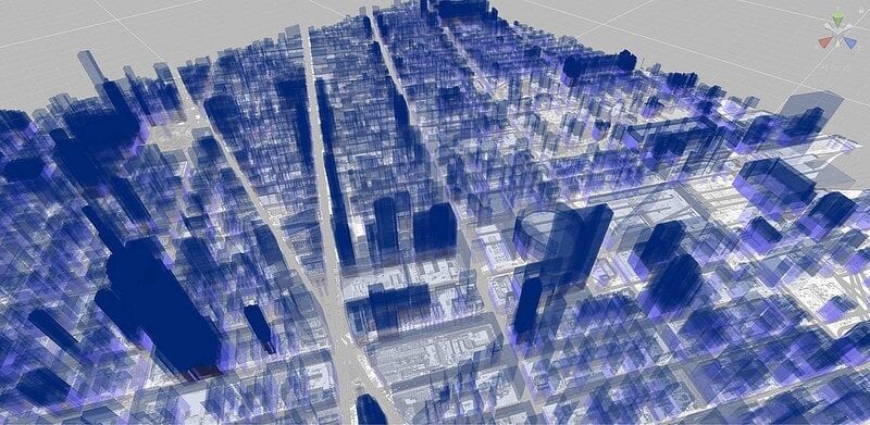
A rendering of Mapbox3D software (photo: Mapbox)
Mapbox, the mapping and location cloud service that aims to power future automated vehicle and enterprise networks, has added 135 million square kilometers of satellite Earth imagery from Maxar Technologies to its platform.
Maxar provided the new data from its WorldView high-resolution Earth Observation (EO) satellites. Mapbox will incorporate the new supply of imagery with its recently launched Mapbox 3D service, which is designed to create custom maps for web and mobile applications.
In a statement, Mapbox CEO Eric Gundersen praised Maxar’s technology, specifically the quality of imagery from the WorldView satellites. “By incorporating the high-resolution satellite imagery, we are able to offer 3D maps that are far more advanced and detailed than anything else. The maps look stunning,” he said.
Maxar CEO Dan Jablonsky said that the deal is an extension of what he expects will be a long-term partnership with Mapbox. “With the integration of Vivid Basic into their platform, Mapbox continues to raise the bar for providing end users with beautiful and accurate maps. When our next-generation WorldView Legion satellites launch, we will significantly expand our collection capacity supporting 3D model generation for the most accurate and up to date foundation data for mapping products,” Jablonsky said.
Financial details of the transaction were not disclosed.
Maxar expects to launch its next-generation WorldView constellation, Legion, later this year. In a September 2020 interview with Via Satellite, Jablonsky said that the Legion constellation would enable the company to expand its 3D imagery business.
“3D machines need lots of imagery to be able to work at a very high level of fidelity. Legion satellites can capture and collect data from an entire metropolitan area — think of something the size of the New York metropolitan area — overnight, and create 3D models of it in real-time. The frequency of the satellite data collection also gives us a real time estimate of everything that’s happened there in that space. This can unlock new applications for training purposes, infrastructure, and building programs,” Jablonsky said.