Sourcewater Unveils DirtWork Alert Satellite Intelligence
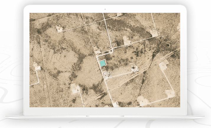
DirtWork Alert. Photo: Sourcewater
Sourcewater, a digital platform for oilfield water intelligence, has debuted DirtWork Alert, which enables Sourcewater clients to see new Permian Basin oilfield development on the ground as soon as it happens. Sourcewater said its product will allow customers to predict new drilling months ahead of permit filings or rig movements.
The online service also identifies probable lease operators and provides geospatial energy data such as land ownership, wellbores, pipelines, permits, rigs, completions, and production of oil, gas, and water.
“Our satellite imaging technology identifies real-world activity on a near-daily basis and reports it instantly, so that our clients see opportunities and competition in their areas of interest ahead of the rest of the market,” Sourcewater CEO Josh Adler said. “We often see sitework starting six months before a permit or spud. This is only possible because of advances in computer vision, satellite imagery, artificial intelligence and machine learning. You would need 150 people working 24/7 to cover the 100,000 square-mile Permian Basin at our cadence without our patented AI-enabled methods.”